Constellr's product offer
Our data portfolio in 2025 consists of three distinct data layers that help you maximize insights from land surface temperature (LST).
Benefit from our cutting edge proprietary data layers LSTprecision and LSTzoom for high-frequency and high resolution monitoring of your area of interest. LSTprecision's unprecedented temperature sensitivity allows for reliable absolute temperature analysis at 30m while the 10m spatial resolution of LSTzoom can provide you insights with a 10x improvement in sharpness over today's LST standard. Both products are ideal for understanding thermal footprints of urban environments, infrastructure, and vegetation, allowing to generate new temperature-based insights for geospatial analysis, research projects and business use cases.. Dedicated tasking to analyze your areas of interest is available for both products from mid 2025 onwards, shortly after the launch of constellr's first satellite on the 15.01.2025.
LSTfusion complements our data offer in 2025 for large scale monitoring. Thanks to constellr's best-in-class data fusion and data assimilation approach leveraging public and proprietary land surface temperature data, you will benefit from temperature insights with reliable, guaranteed daily frequency, allowing continuous monitoring of larger geographic areas to detect trends and temperature patterns.
-
Large coverage for regional monitoring
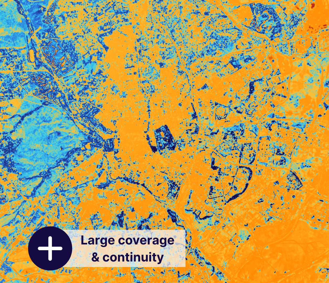
- 30m spatial resolution
- Fused data sources
- Large area coverage
- Reliable data frequency
-
High accuracy for high-value asset monitoring
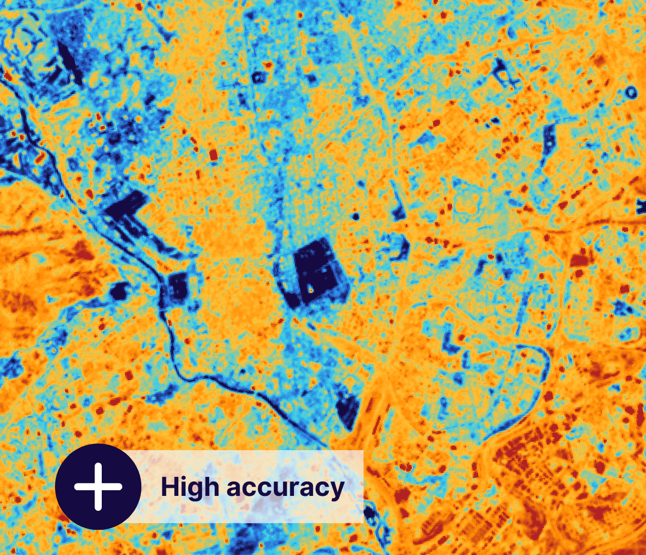
- 30m native spatial resolution
- Proprietary data
- High temperature sensitivity
- High frequency
-
High resolution for zooming in on anomalies
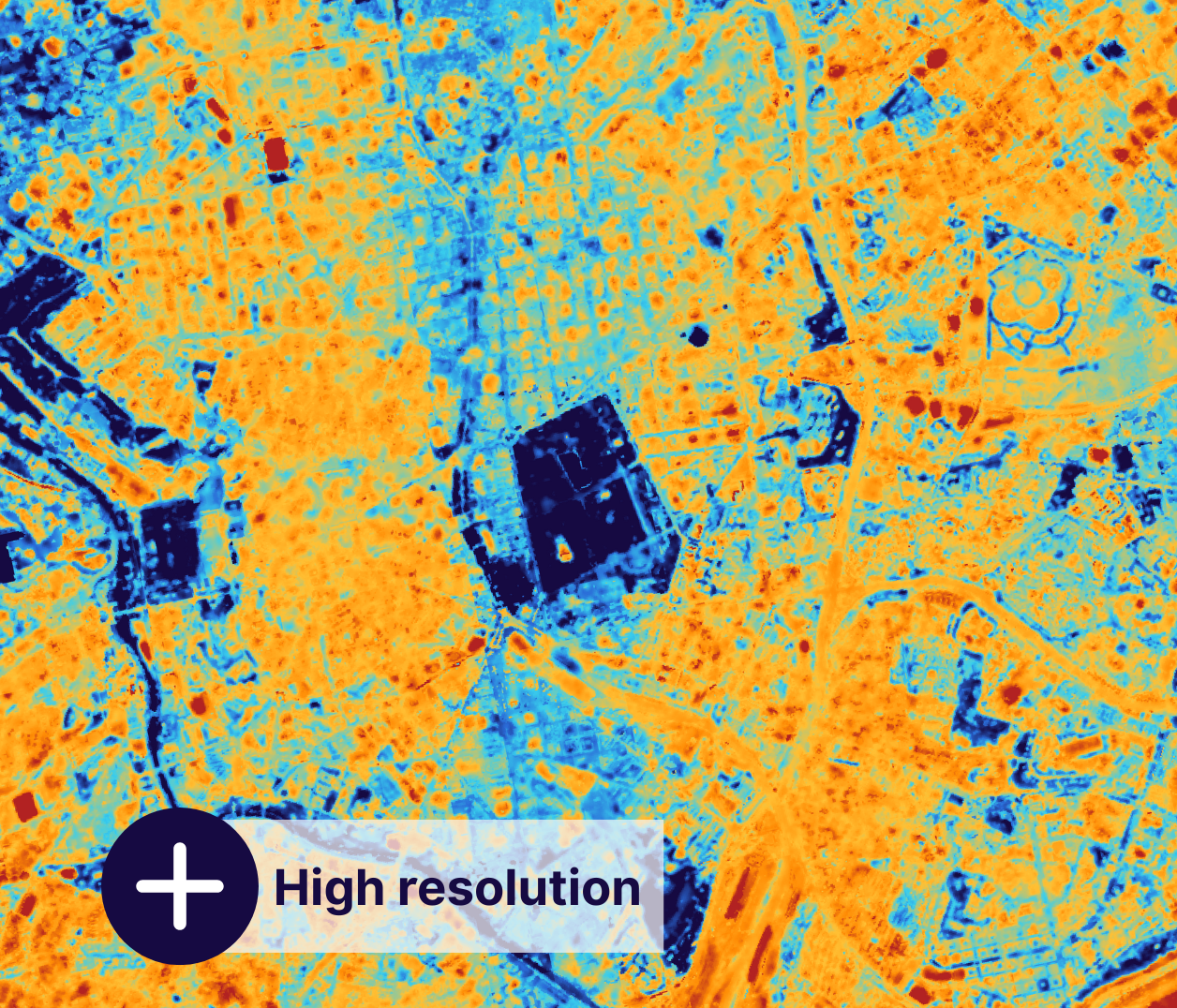
- 10m spatial resolution
- Enriched proprietary data
- Visually best resolved
- High frequency
Pre-cursor products in 2024-2025
If you want to already explore the benefits of high-resolution land surface temperature analysis today, we recommend you to take a look at our pre-cursor products and get in touch with us.
-
Large coverage for regional monitoring

- 30m spatial resolution
- Proprietary LST retrieval
- Algorithm enhanced public data
- Large area coverage
-
LST15
For zooming in on anomalies

- 15m spatial resolution
- Sharpened data
- Visually best resolved
Your gateway to decoding Earth's temperature.
From pixels to planetary resilience.
Explore constellr's data, learn about thermal intelligence, explore our use cases and download actionable demo data sets.