Download free datasets to explore our products.
Find details on the technical specifications of our LST data.
Learn more about the HiVE constellation and SkyBee satellites
How to interprete the data you receive.
Get inspired on how to use LST data for different applications.
Decide which layers you need for your analysis.
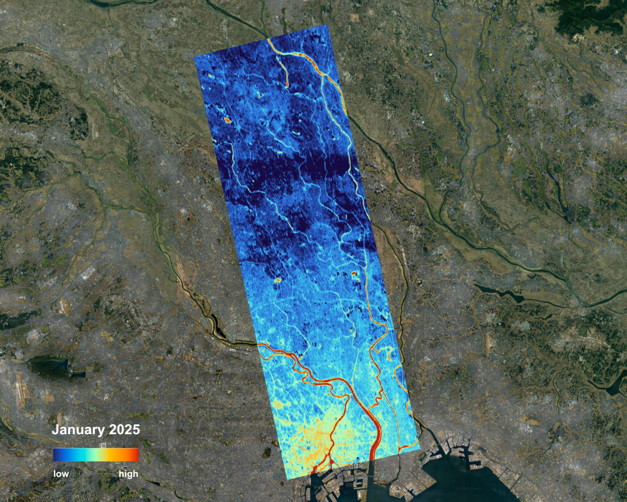
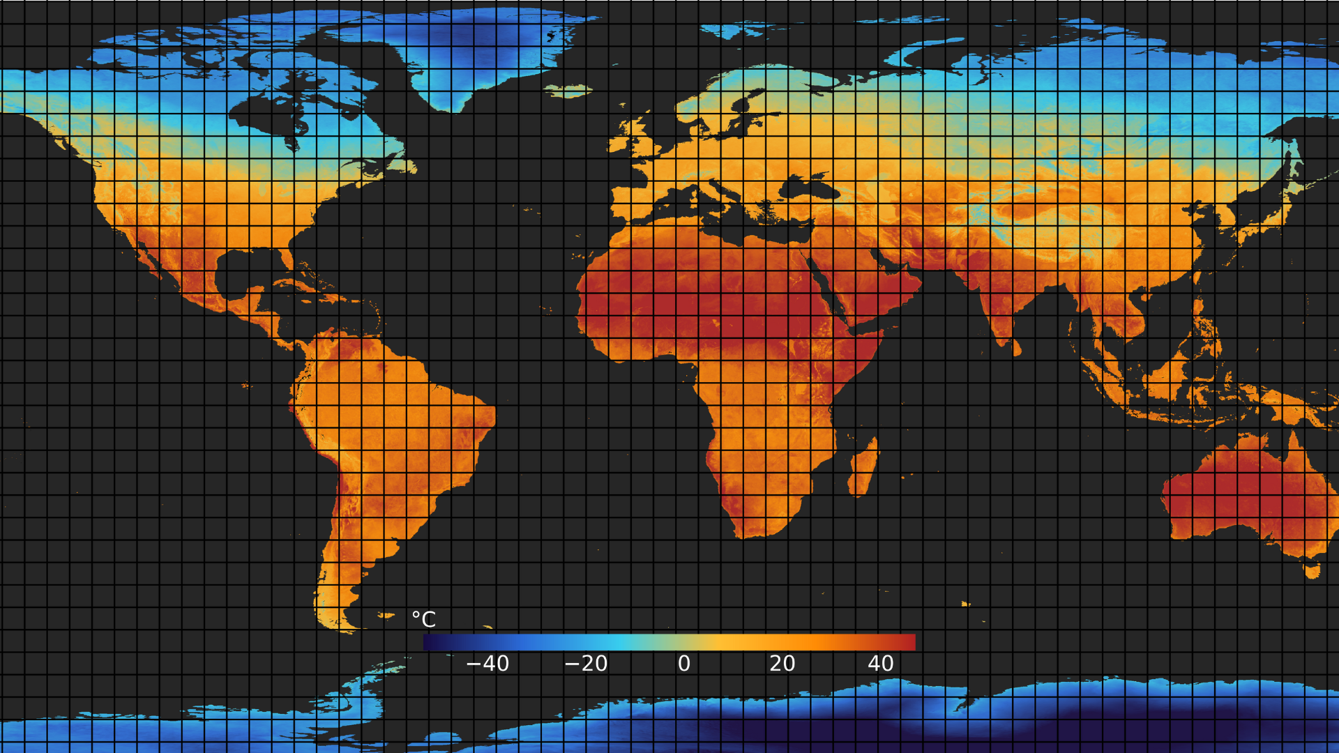
Thermal satellite imagery provides a direct window into Earth’s temperature patterns by detecting the heat emitted from the surface.
The temperature of the Earth's land surface represents how hot the ground would feel if touched at a specific location.
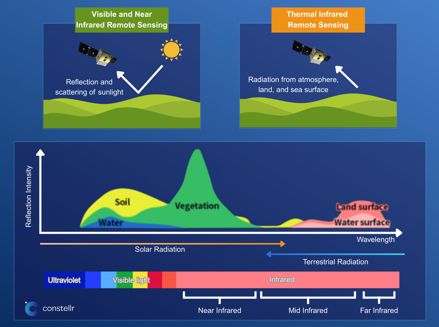
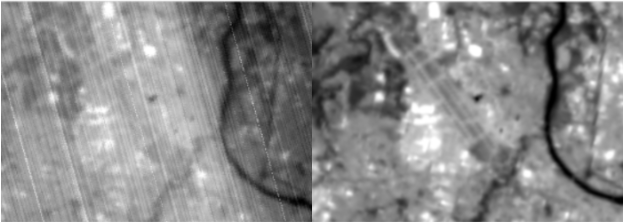
To create thermal images, constellr's satellites monitor the earth across a wide range of the electromagnetic spectrum.
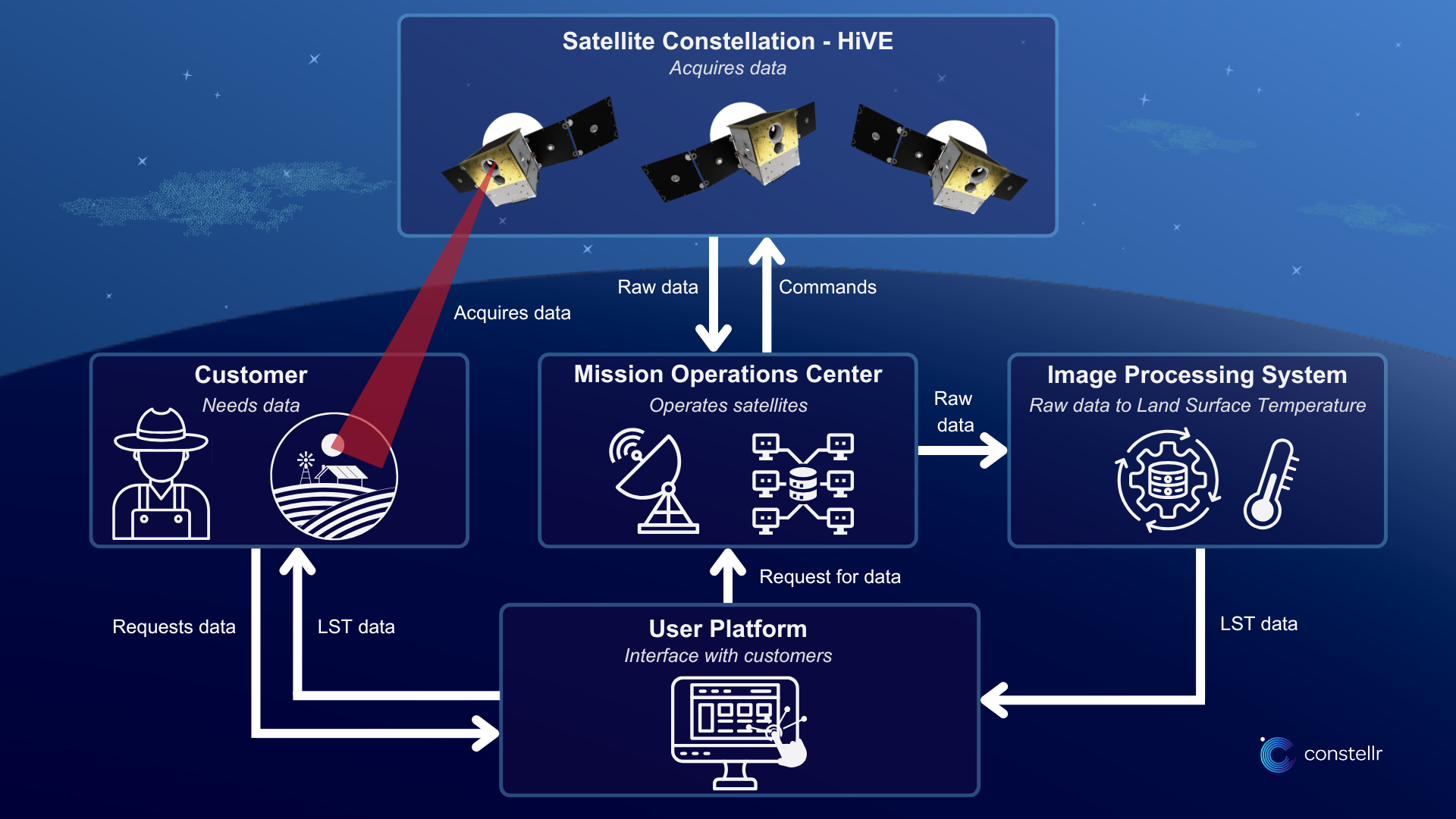
constellr processes the data from the HiVE constellation, to make the high/quality LST imagery available on a user platform for its customers.
Processing thermal data is essentially different from processing optical data.
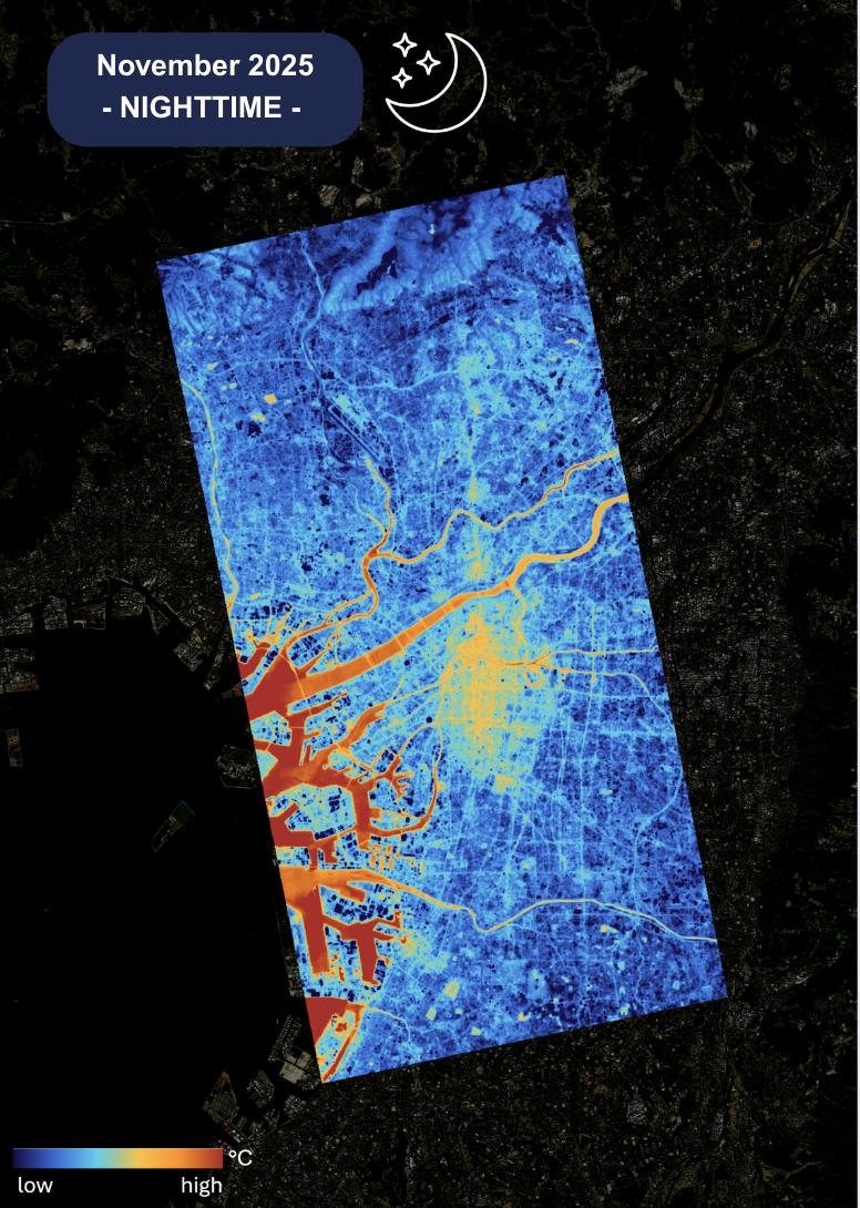
When the sun goes down, the most valuable thermal insights emerge. Explore how nighttime LST uncovers patterns invisible during the day.