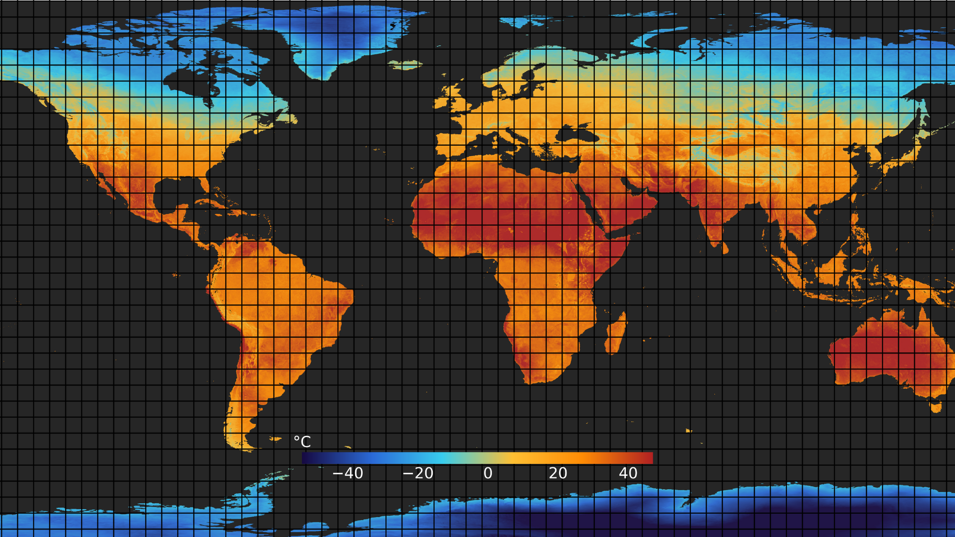
Land Surface Temperature (LST) definition and its importance
The temperature of the Earth's land surface represents how hot the ground would feel if touched at a specific location. Such temperature is measured using thermal and optical sensors, such as those used by constellr’s satellites. From a satellite perspective, the "surface" could be anything visible from space—snow, grass, rooftops, industrial buildings, or forest canopies. Importantly, LST differs from air temperature, which is typically measured by ground-based weather stations at about 2 meters above the surface and reported by weather forecasts. While LST reflects the actual skin temperature of the Earth’s surface, air temperature represents the temperature of the air above it—meaning the two can differ significantly, such as under clear skies and in urban areas.
Through consistently delivering high-quality LST data over time, it becomes possible to make more intelligent data-driven decisions for the environment, economy, and societal resilience. Surface temperature data empowers actionable intelligence for the sustainable management of agricultural, infrastructural, and industrial assets, as well as science.
Scientists monitor Land surface temperature because it affects and is affected by weather and climate patterns. They track how rising greenhouse gas concentrations influence LST and how this in turn impacts glaciers, ice sheets, permafrost, and vegetation.
For farmers, LST is a valuable complement to spectral vegetation indices. While farmers traditionally rely on indices like NDVI to assess plant health and irrigation needs, LST maps offer additional insights—helping detect crop water stress during summer heatwaves and identifying areas at risk of frost damage in winter.
City planners utilize LST data to assess urban heat islands and leverage insights for infrastructure planning.
Security and intelligence analysts leverage thermal data to reveal what isotherwise invisible such as human presence, equipment activity, energy use, and environmental change data on land and sea, from terrain analysis to vessel detection.
Industrial operators use LST data to monitor activities at refineries and power plants, enabling better oversight of critical infrastructure, operational safety, and emissions management.
For more examples of how LST data can be applied in practice, see the page Thermal Insights
Your gateway to decoding Earth's temperature.
From pixels to planetary resilience.
Explore constellr's data, learn about thermal intelligence, explore our use cases and download actionable demo data sets.